| Boyacá Department | |
 | |
Location 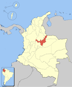 | |
Coat of arms and flag  | |
| State | Colombia |
|---|---|
| Region | Andean region of Colombia |
| Capital | Tunja |
| Surface | 23,189 km² |
| Inhabitants | 1.271.133 (2012 census) |
| Institutional website | |
Boyacá Department is a department of the Andean region of the Colombia.
To know
Geographical notes
The department of Boyacá borders to the north with the departments of Norte de Santander is Santander, east with the departments of Arauca is Casanare, south with those of Half is Cundinamarca, to the west with those of Cundinamarca e Antioquia.
The territory is mainly mountainous affected by the reliefs of the Cordillera Oriental. Among the main valleys is the valley carved by the Bogota River where the capital is located Tunja.
In the western part alone, the territory becomes flat, sloping down towards the Magdalena river which marks the border with the Antioquia department.
Background
Boyacá is one of the nine original states that founded the United States of Colombia.
Here some of the decisive battles of the current Colombian war of independence were fought against Spain: the battle of the Pantano de Vargas on 25 July 1819 and the final and decisive one in Puente de Boyacá on 7 August 1819.
Territories and tourist destinations
Urban centers
- Tunja - Capital of the department.
- Chiquinquirá - A pilgrimage destination, it is the home of the spiritual guide of Colombia.
- Ráquira - Colombia's handicraft capital, also known for its breathtaking Andean landscapes.
- Sogamous - Industrial city in the north of the department.
- Villa de Leyva - An authentic colonial city in the midst of a rural setting. It is one of the most beautiful villages in Colombia and is also recognized as a destination of spiritual rediscovery.
How to get
How to get around
What see
What to do
At the table
Safety
Other projects
 Wikipedia contains an entry concerning Boyacá Department
 Commons contains images or other files on Boyacá Department