Upper Normandy - Górna Normandia
Upper Normandy
Upper Normandy
|
| location |
 |
| Flag |
 |
| Main information |
| Capital city | Rouen |
|
| Currency | euro |
| Surface | 12 317 |
| Population | 1 850 685 |
| Tongue | French |
|
|
|
|
|
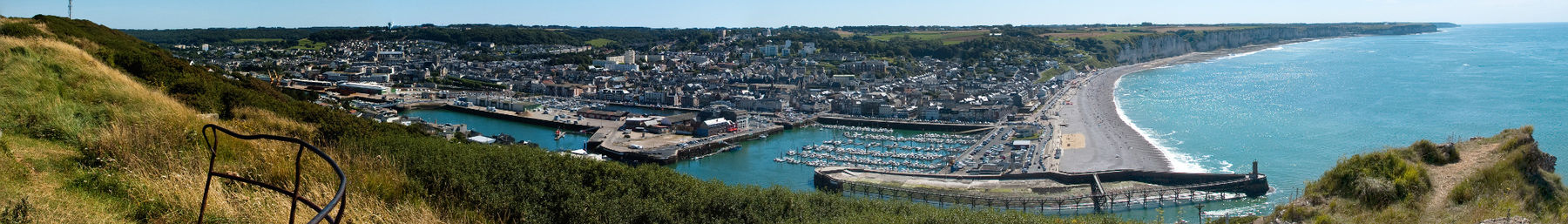
Alsace - the administrative region in the North France, covering the eastern part of historic Normandy. Bordered by the regions: to the east with Picardy and Île-de-France, to the south with the Central Region, to the west with Lower Normandyand to the north with the waters of the English Channel. It is divided into two departments: Eure and Seine Maritime.
Characteristic
Geography
Climate
History
Policy
Economy
Drive
By car
By plane
By ship
Cities
Interesting places
Transport
Shopping
Gastronomy
Accommodation
Security
Health
contact


