 | |
| no picture on Wikidata: | |
| Mangaung | |
| province | Free State |
|---|---|
| Capital | Bloemfontein |
| Residents | 747.431 (2011) |
| surface | unknown |
| no value for area on Wikidata: | |
| website | unknown |
| no website on Wikidata: | |
| no tourist info on Wikidata: | |
| location | |
.svg/250px-Map_of_the_Free_State_with_Mangaung_highlighted_(2016).svg.png) | |
The metropolitan municipality Mangaung is in the center of the south african province Free State.
Regions
Mangaung is surrounded by the neighboring regions Xhariep in the southwest, Goldfields and Eastern Free State in the north as well Lesotho in the south East. Until 2011 the district was called Motheo. In addition to Mangaung, it also included a sub-district of the neighboring one Eastern Free State. The region is in Highveld. The word Motheo comes from the language of the local people Sesotho and means Cornerstone. Agricultural use: cultivation of maize and wheat, cattle and sheep breeding.
places
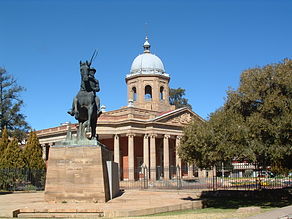
- Bloemfontein - Capital and cultural center of the region.
- Ladybrand - Small town on the border with Lesotho
- Botshabelo - second largest township after Soweto
- Thaba Nchu - Luxury hotels and casinos, near Maria Moroka Nature Reserve
Other goals
background
language
The Sesotho are the largest population group, is also widespread Afrikaans and English
getting there
By plane
- 1 Bloemfontein Airport (IATA: BFN)


 in the Wikidata database")

In the street
- N1 of Cape Town and Johannesburg
- N8 of Kimberley to Maseru in Lesotho
- N6 of East London
mobility
Tourist Attractions
- Franklin Nature Reserve
- Caledon Nature Reserve
- Rustfontein Dam Nature Reserve
activities
kitchen
nightlife
security
climate
literature
Web links
- An official website is not known.
- Motheo tourism - Official English language site
