 | |
| no picture on Wikidata: | |
| Xhariep | |
| province | Free State |
|---|---|
| Capital | Trompsburg |
| Residents | 146.259 (2011) |
| surface | unknown |
| no value for area on Wikidata: | |
| website | unknown |
| no website on Wikidata: | |
| no tourist info on Wikidata: | |
| location | |
.svg/250px-Map_of_the_Free_State_with_Xhariep_highlighted_(2016).svg.png) | |
The region Xhariep lies in the south african province Free State.
Regions
Xhariep lies between Motheo in the east, the Goldfields in the north and the province Northern Cape in the West. In the south the separates Orange River the region of the province Eastern Cape. Xhariep is relatively sparsely populated.
places

Map of Xhariep
- 1 Gariep Dam

 in the Wikidata database") - the place arose from a settlement on the reservoir of the same name
- the place arose from a settlement on the reservoir of the same name - 2 Rouxville

- 3 Zastron
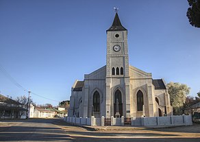
- 4 Trompsburg - Capital of the district and seat of the Tourist information


Other goals
background
The name Xharieb comes from the language of Griqua and is derived from the word Gariebwhich comes from the language of the San and big water means.
language
getting there
mobility
Tourist Attractions
- Gariep Dam Nature Reserve
- Kalkfontein Nature Reserve
activities
- Water sports, gliding at Gariep Dam.
kitchen
nightlife
security
climate
literature
Web links
- An official website is not known.
