| Valparaíso | ||
 | ||
Coat of arms and flag .svg/54px-Escudo_de_Valparaíso_(Chile).svg.png) | ||
| State | Chile | |
|---|---|---|
| Altitude | from 0 to 336 m a.s.l. | |
| Surface | 402 km² | |
| Name inhabitants | Porteño, Valpino | |
| Prefix tel | 56 32 | |
| POSTAL CODE | 3580000 | |
| Time zone | UTC-4 | |
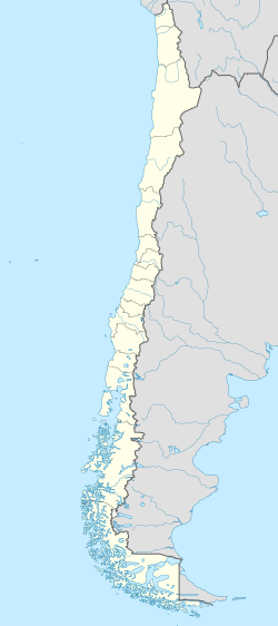
Position
| ||
| Institutional website | ||
Valparaíso it's a city Chilean located in the region of Central Chile.
To know
Valparaíso is the second most important port of Chile facing the Pacific Ocean, after San Antonio.
Since 1987 it has been the seat of the Chilean parliament, then the administrative capital of the country, its historic center in 2003 was declared a World Heritage Site by theUNESCO.
When to go
In January, the minimum temperatures oscillate between 13 ° C and 24 ° C, while in July between 6 ° C and 11 ° C. The maximum annual excursion occurs in August with −4 ° C and in February with 33 ° C. Rainfall is concentrated in autumn and winter, with July being the wettest month.
How to orient yourself
Neighborhoods
- El Plan - It is the plain area, divided in turn into three districts:
- Port district (Barrio Puerto) - It is the oldest in the city, inhabited since colonial times. The mother church (The Matriz), the oldest in Valparaíso, although rebuilt several times over the centuries. Highlights of the bustling harbor district are Wheelwright, Echaurren, Sotomayor squares and the rundown fish market.
- El Almendral - The largest district, obtained with lands torn from the sea. In this area there are the Congress Palace, the Italia park, the cathedral, the municipal theater and the Cardonal market.
- El sector Yolanda - The easternmost neighborhood, sandwiched between the ocean and the Barón and Placeres hills. It extends up to the municipality of Vina del Mar and its main arteries are the Argentina and Espana avenues.
- Los Cerros - It is the area of the hills, very picturesque because of its brightly painted houses.
How to get
By bus
- Rodoviario Terminal (Terminal de buses), Pedro Montt 2860.

How to get around
The inhabitants use bicycles and mopeds to move between the suburbs.
By public transport

Metro map
- Valparaíso Metro. The city is equipped with a light metro with a single line that runs on the ancient route of the railway for Santiago.

Cableways
- 1 Ascensor Artillería.
- 2 Ascensor Barón.
- 3 Ascensor Concepción.
- 4 Ascensor Cordillera.
- 5 Ascensor El Peral.
- 6 Ascensor Espíritu Santo.
- 7 Ascensor Florida.
- 8 Ascensor of the Van Buren Hospital.
- 9 Ascensor Larraín.
- 10 Ascensor Lecheros.
- 11 Ascensor Mariposas.
- 12 Ascensor Monjas.
- 13 Ascensor Polanco.
- 14 Ascensor Reina Victoria.
- 15 Ascensor San Agustín.
- 16 Ascensor Villaseca.
What see

House of Valparaíso

Arch built by the British community of Valparaíso and given as a gift to the city
Civil architectures
- 1 Building of the Congreso Nacional de Chile.
- 2 Agustín Edwards building (Reloj Turri).
- El Mercurio building.
- 3 Armada de Chile building.
- 4 Santiago Severín Library.
Religious architectures
- 5 Iglesia de la Matriz.
- 6 Cathedral of Valparaíso.
Museums
- Cielo Abierto Museum.
- Museo de Historia Natural.
Events and parties
What to do
Shopping
Traditional markets
- 1 Mercado Cardonal.
- 2 Mercado Puerto.
Shopping centers
- 3 Mall Paseo Ross, Av. Argentina 540.
 Mon-Sun 10: 30-21: 00.
 - 4 Portal Valparaíso, Av. Argentina 51. Mon-Sun 11: 00-21: 00.
How to have fun
Where to eat
Where stay
Safety
How to keep in touch
Around
- 17 Viña del Mar
Other projects
 Wikipedia contains an entry concerning Valparaíso
 Commons contains images or other files on Valparaíso