The Antofagasta region is in the north of Chile. Because of its good tourist infrastructure and its diverse attractions, it is one of the most popular travel destinations in the country.
Regions

Map of Antofagasta Region
places
- 1 Antofagasta


 in the Wikidata database") , 300,000 inhabitants, the largest city in northern Chile and an important export port.
, 300,000 inhabitants, the largest city in northern Chile and an important export port. - 2 Calama, 150,000 inhabitants, located at an altitude of 2,000 m in the Atacama desert, the mining metropolis
- 3 Tocopilla, 30,000 inhabitants
- 4 Valley valley, 15,000 inhabitants
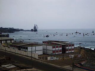
- 5 Mejillones, 10,000 inhabitants, fishing and seaside resort
- 6 San Pedro de Atacama, 2,000 inhabitants, on the plateau. Most famous travel destination in the Atacama Desert, surrounded by salt lakes, geysers and impressive mountain giants. The route through the area is also called because of the many US tourists Gringo Trail known.


.jpg/350px-TALTAL_-_panoramio_(3).jpg)

Other goals
- 1 Chuquicamata, largest open-cast mine in the world, world-famous copper mine. Until 2007 there was a workers' town with a population of 20,000 in the area, but it was relocated to Calama due to environmental problems (polluted air from the mine itself).
- 2 La Chimba National Park
- 3 Llullaillaco National Park


background
language
getting there
mobility
Tourist Attractions

La Portada
.jpg/320px-MonumentoNaturalLaPortada(4).jpg)