&groups=nichts)
The oblast Samara (Самарская область) is in the Russian federal district Volga. To the west of it is the oblast Saratov, to the north it borders on the oblast Ulyanovsk and the republic Tatarstan. The oblast lies in the southeast Orenburg, in the very south she touches Kazakhstan.
Regions
&groups=Maske,Track,Aktivitaet,Anderes,Anreise,Ausgehen,Aussicht,Besiedelt,Fehler,Gebiet,Kaufen,Kueche,Sehenswert,Unterkunft,aquamarinblau,cosmos,gold,hellgruen,orange,pflaumenblau,rot,silber,violett)
The Volga flows through the oblast from north to south and flows through the Kuibyshev reservoir. This is formed by a dam that spans the river between the cities Tolyatti and Zhigulyovsk accumulates. Downstream the Volga forms a loop, in which lies the Samarskaya Luka National Park(Russian: Национальный парк "Самарская Лука") Samar bow with the Shiguli Mountains. At Samara when it reaches its most easterly point, it continues to flow in a westerly direction until it reaches Syzran to the southwest towards Saratov and further after Volgograd flows.
places
- 1 Samara


 in the Wikidata database") - the earlier one Kuibyshev
- the earlier one Kuibyshev - 2 Togliatti

 - Production site of Lada-Automotive plants
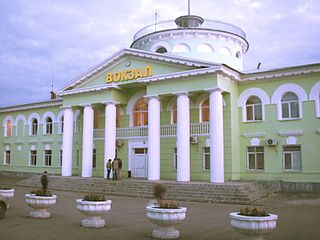
 - 3 Syzran
- 4 Novokuibyshevsk
- 5 Chapayevsk
- 6 Zhigulyovsk
- 7 Otradny


.jpg/320px-Сызрань_-_panoramio_(9).jpg)


Other goals

background
language
getting there
mobility
Tourist Attractions
activities
kitchen
nightlife
security
climate
literature
Web links
http://www.samregion.ru/ - Official website of Samara Oblast