The Schwarzatal with the river Schwarza and the surrounding landscape lies in the extreme northeast of the Thuringian Forest Nature Park. The river landscape of the year 2006/2007 is the most beautiful river valley in the Thuringian Forest and is accordingly equipped with a high tourist potential.

places

- 1 Bad Blankenburg


 in the Wikidata database") - Small town at the entrance to the Schwarzatal; state-approved climatic health resort.
- Small town at the entrance to the Schwarzatal; state-approved climatic health resort. - 2 Katzhütte - End point of the railway line from Rottenbach.
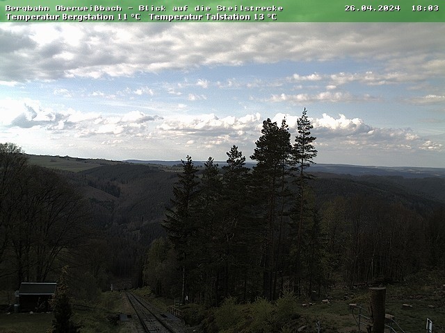
- 3 Oberweißbach - State-approved resort above the Schwarzatal and in the neighboring Weißbachtal; Oberweißbacher Bergbahn.
- 4 Schwarzburg - Schwarzburg castle ruins


Other goals
background
The Schwarzatal is nicknamed the "Pearl of Thuringia". The Schwarza carries some gold sand with it and joins after a 45 km run Schwarza between Saalfeld and Rudolstadt left into the hall.
getting there
By train
If you arrive by train - whether from Erfurt or Saalfeld, you always have to change trains in Rottenbach. The Schwarzatalbahn called railway line leads from there to Schwarzburg, where it meets the valley itself, and then further and further up the valley to Katzhütte.
In the street
The driver is driving
- from direction Jena
 about the
  to Rudolstadt And then to Bad Blankenburg;
 - from direction Neustadt (Orla)
 about the
  , at the bypass Saalfeld on the
  Direction Rudolstadt and in Schwarza on the to Bad Blankenburg;
 - from the direction of Ilmenau
 about the at least as far as Pennewitz, then he can reach various parts of the Schwarza Valley via several right-turning streets.
mobility
Tourist Attractions
- Oberweißbacher Bergbahn
- Schwarzburg Castle
activities
- hike
kitchen
nightlife
security
climate
literature
- "Bergbahnregion" bike and hiking map - M 1:25 000. The map shows the entire Schwarzatal including Oberweissbach. Neuhaus am Rennweg is still shown on the southern edge of the map; ISBN 978-3-937929-61-3 (March 2006), published for € 3.50 in the Kartographischen Kommunalen Verlagsgesellschaft Nordhausen
Web links
- www.rennsteig-schwarzatal.de - TourismusRegion Rennsteig-Schwarzatal (Tourist and ServiceCenter Bad Blankenburg)
- www.schwarza-fluss.de - Private page on the Schwarza as a river landscape of the year 2006/2007