The nature park Thuringian Forest is a low mountain range in Thuringia, which extends over a total of about 150 km in north-west-south-east direction. The highest mountain in the Thuringian Forest is the Great Beerberg with a height of 983 m. The well-known one runs on the ridge of the mountains Rennsteig high-altitude hiking trail.

Regions

The Thuringian Forest as a low mountain range and core of the nature park runs through the south of Thuringia from northwest to southeast. It is divided into:
- Western Thuringian Forest - of Eisenach to the line Ohrdruf - Steinbach-Hallenberg. The highest point here is the known one Great Island Mountain with 916 m.
- Middle Thuringian Forest - from the Ohrdruf - Steinbach-Hallenberg line to the line Koenigsee-Ice field. Here is Oberhof, the most famous tourist center in the mountains. The highest mountains in the Thuringian Forest (Großer Beerberg 983 m) are also located here.
- Schwarzatal - the Schwarza, a left tributary of the Saale, with its surrounding mountains is the most beautiful river valley and was the river landscape of the year 2006/2007.
- High slate mountains or Southern Thuringian Forest - from the Königsee-Eisfeld line to the line Bad Blankenburg-Sonneberg. The Hohe Schiefergebirge forms a travel region with the Thuringian Forest, the areas are also very similar in terms of landscape. Geologically, however, it is part of the Thuringian Slate Mountains.
places

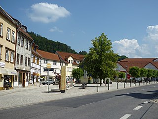
The largest municipalities in the region are the independent cities Eisenach, Wartburgstadt in the northwest, and Suhl, Weapon city and neighbor to the districts of Schmalkalden-Meiningen, Hildburghausen and Ilmkreis.
Places and cities of major tourist importance:

- 1 Brotterode


 in the Wikidata database") - Bergstadt on Big Island Mountain
- Bergstadt on Big Island Mountain

- 2 Eisenach
 - (43,000 inhabitants) - the city below the Wartburgin which both Elisabeth of Thuringia as well as 300 years later Martin Luther lived The Wartburg belongs to the UNESCO World Heritage Site.

- 3 Flea Seligenthal - (6,300 inhabitants) - the largest resort in terms of area on the Rennsteig and on the Ebertswiese mountain lake

- 4 Frauenwald - a hiking and skiing paradise right on the Rennsteig

- 5 Friedrichroda - (7,400 inhabitants) - picturesque location on the northern edge of the Thuringian Forest, with over a million overnight stays per year, the city was formerly the second most important holiday destination in the GDR

- 6 Gehlberg - at the Schneekopf

- 7 Ilmenau - (26,000 inhabitants) - University town on the northern edge of the mountains

- 8 Lauscha - Glassblowing town, located in the south-eastern part of the mountain
.JPG/320px-10_Lauscha_(30).JPG)
- 9 Masserberg - Spa and winter sports resort on the Rennsteig

- 10 Neuhaus am Rennweg - City right on the mountain ridge

- 11 Oberhof - well-known winter sports center directly on the Rennsteig.

- 12 Oberweißbach - here is the well-known Oberweißbacher Bergbahn.

- 13 Ruhla - cozy resort in the northern part of the mountains.
- 14 Schmalkalden - (19,800 inhabitants) with a pretty old town and castle

- 15 Schmiedefeld am Rennsteig - central location not far from the highest mountains

- 16 Suhl - (38,200 inhabitants) - "capital" of the mountains

- 17 Steinach - has the largest ski area in the Thuringian Forest

- 18 Stutzerbach - Health resort that Goethe liked to visit

- 19 Bad Tabarz - (4,200 inhabitants) - Kneipp spa at the foot of the island mountain

- 20 Tambach-Dietharz - Located away from the tourist hype, possible Rennsteig stage location

- 21 Zella Mehlis - (11,600 inhabitants) - winter sports resort with sea aquarium

background
The following districts and large urban districts have a share in the area of the nature park:
From northwest to southeast: Eisenach, Wartburgkreis, Schmalkalden-Meiningen district, Suhl, Gotha district, Ilmkreis, Hildburghausen district, Saalfeld-Rudolstadt district, Sonneberg district.
language
Thuringian is spoken to the north of the ridge and Franconian to the south.
getting there
By plane
The nearest airport is that Erfurt airportbut has few connections. Airports with a larger selection of scheduled flights are further away Frankfurt a. M., Leipzig and Nuremberg.
By train
Long-distance traffic stops with IC or ICE are to the north (Erfurt, Gotha and Eisenach) and south (Wurzburg, Bamberg) of the Thuringian Forest. The railway lines run from there
- Eisenach–bad Salzungen–Meiningen–Hildburghausen–Sonneberg (STB)
- Erfurt-Arnstadt–Zella Mehlis–Suhl–Meiningen
- Erfurt – Arnstadt – Ilmenau
- Gotha–Fröttstädt–Waltershausen–Friedrichroda
- Gotha – Waltershausen – Friedrichroda–Bad Tabarz(Thuringian Forest Railway)
- Würzburg–Schweinfurt–Suhl – Erfurt
- Schweinfurt–Mellrichstadt–Meiningen
- Nuremberg–Bamberg – Sonneberg (there is a connection to the Süd-Thüringen-Bahn to Neuhaus a. R.)
- Saalfeld–Bad Blankenburg–Katzhütte
in the region.
In the street
- Highways
- A 4 Erfurt–Gotha–Eisenach–Bad Hersfeld
- A 71 Erfurt–Arnstadt–Ilmenau–Suhl–Meiningen–Schweinfurt–Wurzburg
- A 73 Suhl–Coburg–Bamberg–Nuremberg
- Federal highways
- B 19 Eisenach–Spreads–Meiningen
- B 62 Bad Hersfeld–bad Salzungen
- B 89 Kronach-Sonneberg–Ice field-Hildburghausen–Meiningen
- B 281 Saalfeld–Neuhaus am Rennweg–Ice rink
mobility
- Railway lines
see above (#By train), as:
Tourist Attractions
Mountain tops

- 1 Big island mountain - (916 m) between Bad Tabarz and Brotterode. The striking mountain, visible from afar due to its transmitter system, is not the highest elevation in the Thuringian Forest, but with the Schneekopf it is the most famous mountain. In February 2015, a 21 m high observation tower was opened on the "Großer Inselsberg", from which one can enjoy a 360 ° panoramic view.

- The Summit region of the mountains southeast of Oberhof. Here you can find the three highest mountains in the range: 2 Great Beerberg(982 m with the well-known viewpoint "Pläckners Aussicht" on the Rennsteig), 3 Snow head - (978 m; great panoramic view; observation tower that leads to 1001 m height) and 4 Great Finsterberg (944 m; viewing platform).


- 5 Kickelhahn - (861 m) - The local mountain of the city of Ilmenau became famous through Goethe. On the summit you will find a lookout tower and a restaurant next to the Goethe House.

- 6 Bleßberg - (867 m) in the southern Thuringian Forest. The mountain is a landmark in the Werraniederung area in southern Thuringia. In addition to the striking transmission tower, there has also been an observation tower with a hiking home since 1997 (further information).

Lakes and bodies of water
- Schmalwassergrund dam - The Drinking water reservoir is about 5 km east of Tambach-Dietharz in the Thuringian Forest. It is part of the Thuringian long-distance water supply. The Steinschüttdamm is the largest structure of its kind in Germany. It is 77 m high and 325 m long. The dam has an asphalt concrete core seal so that nothing seeps through. The dam was built between 1988 and 93. After the trial jam until 1997, the inauguration finally took place in 1998. Bathing in the reservoir is not permitted.
Cave and show mines
- The Marienglashöhle between Friedrichroda and Bad Tabarz - Show mine with gypsum crystals.
- Saalfeld fairy grottoes at Saalfeld. In the historic alum mine from 1530, beautiful stalactite formations have formed over 300 years. In 1910 the mine was rediscovered and turned into a tourist attraction. Around 180,000 visitors come to the fairy grottoes every year. For more information see www.feengrotten.de.
- Altensteiner cave at Schweina on the southern edge of the western Thuringian Forest
- Morassina show mine at Schmiedefeld (Lichtetal) in the area of the eastern Rennsteig.
- Rock grotto food stall Rock grotto in Leutenberg with pollutant-free and pollen-free air. Allergy and asthma sufferers can undergo respiratory therapy here.
- Kittelsthaler stalactite cave at Ruhla - The only stalactite cave in Thuringia that has been expanded into a show cave.
Castles and Palaces
- The Wartburg near Eisenach.
- The Brandenburg with leek.
Museums
- Garden Gnome Museum in Graefenroda, the story of the Thuringian garden gnome from the oldest garden gnome manufacturer in the world [1].
miscellaneous
- The Goldisthal pumped storage plant, one of the largest pumped storage power plants in Europe. You can visit the information center in Goldisthal. The power plant can by appointment can be visited. There is a beautiful vantage point at the upper basin.
activities
hike
The runs on the ridge of the low mountain range Rennsteig, a high-altitude hiking trail of 168 kilometers in length. In its neighborhood, cyclists can take the route on the Rennsteig cycle path deal with.
Most Thuringian Forest holidaymakers come to hike, and the holiday resorts are structured accordingly. The hiking trails are well developed, but you should always wear sturdy shoes.
Winter sports

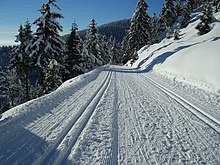
- Nordic skiing: There are excellent opportunities to practice Nordic winter sports in the mountains. If the snow conditions allow, the Rennsteig turns into a 120 km regional trail. In many places there are also groomed circular trails. If you want to go on longer tours, it is best to buy a winter sports card (see section literature). The official information about "Nordic skiing" are here.
- Alpine skiing: Most holiday resorts also have a downhill slope with a ski lift for fans of alpine skiing. The largest ski area with a chairlift is the Silbersattel ski arena at Steinach. Also in Oberhof Is there a Chairlift with a longer slope (800 m). There is also one on the 916 m high Großer Inselsberg Downhill route with a drag lift and a total length of 2.1 km. In Bad Tabarz there is a small drag lift for children and beginners.
- Snow phone for the region: 0180 - 55 33 999 (14 cents / min. from landlines).
- The official Snow depth overview of the Regionalverbund Thüringer Wald e.V. for the entire mountain range to be found here
further activities
- Bathing and wellness in the thermal baths in Oberhof, Bad Tabarz([2]) and Masserberg.
- City tours in Schmalkalden, Ilmenau or Eisenach.
- Museum visits in the museums of the smaller towns. Here, information is primarily provided about regional history as well as glass art.
- For the little ones: Trusetal Dwarf Park
- Trips on tourist routes:
- Rennsteig
- Toy street
- China route
- Classic Street
- Olities ways
- Slate road
kitchen
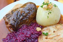
The cuisine is quite similar to Franconian-Bavarian, the portions are generous and high in calories. Specialties are the Thuringian dumplings with roulade and of course the Thuringian bratwurst, which tastes better with every meter of altitude. A beer is served with the meal. In many places there are still small family breweries that produce Pilsner and black beer.
nightlife
If you want to go out in the evening, it is advisable to go to the cities. In many smaller holiday resorts, the sidewalks are "folded up" at 6 p.m. in the evening.
security
- There is no danger of avalanches as almost all mountains are forested (low mountain range).
- Attention: There are many places in the Thuringian Forest none Cell phone reception.
- In winter, winter tires are indispensable, it is advisable to bring snow chains with you.
- There are no problems with crime.
climate
The Thuringian Forest has a low mountain range, the north side is slightly more humid than the south side. In winter in the Thuringian Forest there is mostly snow above 600 to 700 meters, and winters are relatively snow-sure up to 400 meters. The best month to visit the Thuringian Forest is June, or January for winter sports enthusiasts.
Weather forecast
Forecast for the region "Thuringian Forest / Rennsteig" up to 8 days in advance Weather Online.
Weather stations from DWD and Meteomedia AG 4-day forecast:
- Station "Oberhof" at an altitude of 780 m
- Station "Masserberg" at an altitude of 790 m
- Station "Kleiner Inselsberg" at an altitude of 732 m
- Station "Ruhla" at an altitude of 436 m
- private weather network in Thuringia with all relevant weather values
Note for winter sports enthusiasts: You can calculate the expected fresh snow from the forecast yourself. Rule of thumb: 1 mm of precipitation results in about 1 cm of cardboard snow (at temperatures around 0 degrees Celsius). Powder snow usually falls at lower temperatures. Here, 1 mm of precipitation results in a snow depth of 1-2 cm.
Practical advice
Nature park information points of the Association of the Thuringian Forest Nature Park are available in the following places: Altenstein, Bad Blankenburg, Eisfeld, Friedrichshöhe, Gotha, Hörschel, Oberhof, Ohrdruf, Ruhla, Sitzendorf, Sonneberg, Spechtsbrunn, Bad Tabarz, Unterweißbach and Vesser.
trips
- Thuringian Slate Mountains Nature Park / Upper Saale - with the fjord-like reservoirs.
- Franconian Forest as a south-eastern extension of the Thuringian-Franconian mountain range from the line Bad Lobenstein-Sonneberg to the line Kulmbach-court
- Werra Valley River landscape between two mountains with old towns.
- Erfurt - The Thuringian state capital can be reached from most places in the Thuringian Forest in an hour's drive.
- Weimar - European Capital of Culture 1999
- Rhön - neighboring mountains of volcanic origin to the west up to a height of 950 meters (Wasserkuppe).
- Saale valley - the scenic area between Saalfeld and Jena.
- Coburg - Castle town in Northern Bavaria, which can be easily reached with day trips.
literature
- General: Verlag Grünes Herz - The publisher based in Ilmenau publishes numerous hiking maps for the Thuringian Forest region. further information: see Publishing site.
- Winter sports card: "Winter sports in the Thuringian Forest", Scale 1: 50,000, ISBN 978-3-86973-015-8 as of December 2009; The set consists of three maps that cover the entire Thuringian Forest (packed in a protective cover). The maps show trails, ski hiking trails and ski lifts with slopes, price: € 4.50, published by Kartographische Kommunale Verlagsgesellschaft mbH
- Winter sports information in the free Openstreetmap wiki world map - The worldwide map project Openstreetmap has a very extensive database. Here at xctrails.org the circuits of the cross-country trails are specially shown from Openstreetmap (just search for the Thuringian Forest and zoom in). Click on the black athlete symbols to get additional information about the respective cross-country ski run. As of 01-2013, the cross-country ski trail network or the network of ski hiking trails has not yet been fully recorded.
Web links
- Regional Association Thuringian Forest e. V. - Amalgamation of the districts and cities in the Thuringian Forest (official tourist site)
- official information system of the Thuringian Forest Nature Park
- www.rennsteigportal.de - a private website on the Rennsteig that is well worth reading; lots of background information; the site is not overloaded with advertising.
Webcams
Here you can find some nice views of and from the mountains:
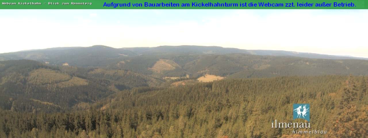
- View from Kickelhahn near Ilmenau over the Thuringian Forest Direction Rennsteig
- View over the Thuringian Forest from the mountain hotel Stutensee out
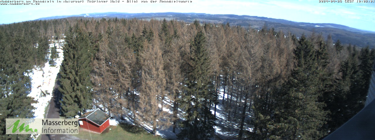
- View from the Rennsteigwarte observation tower at Masserberg
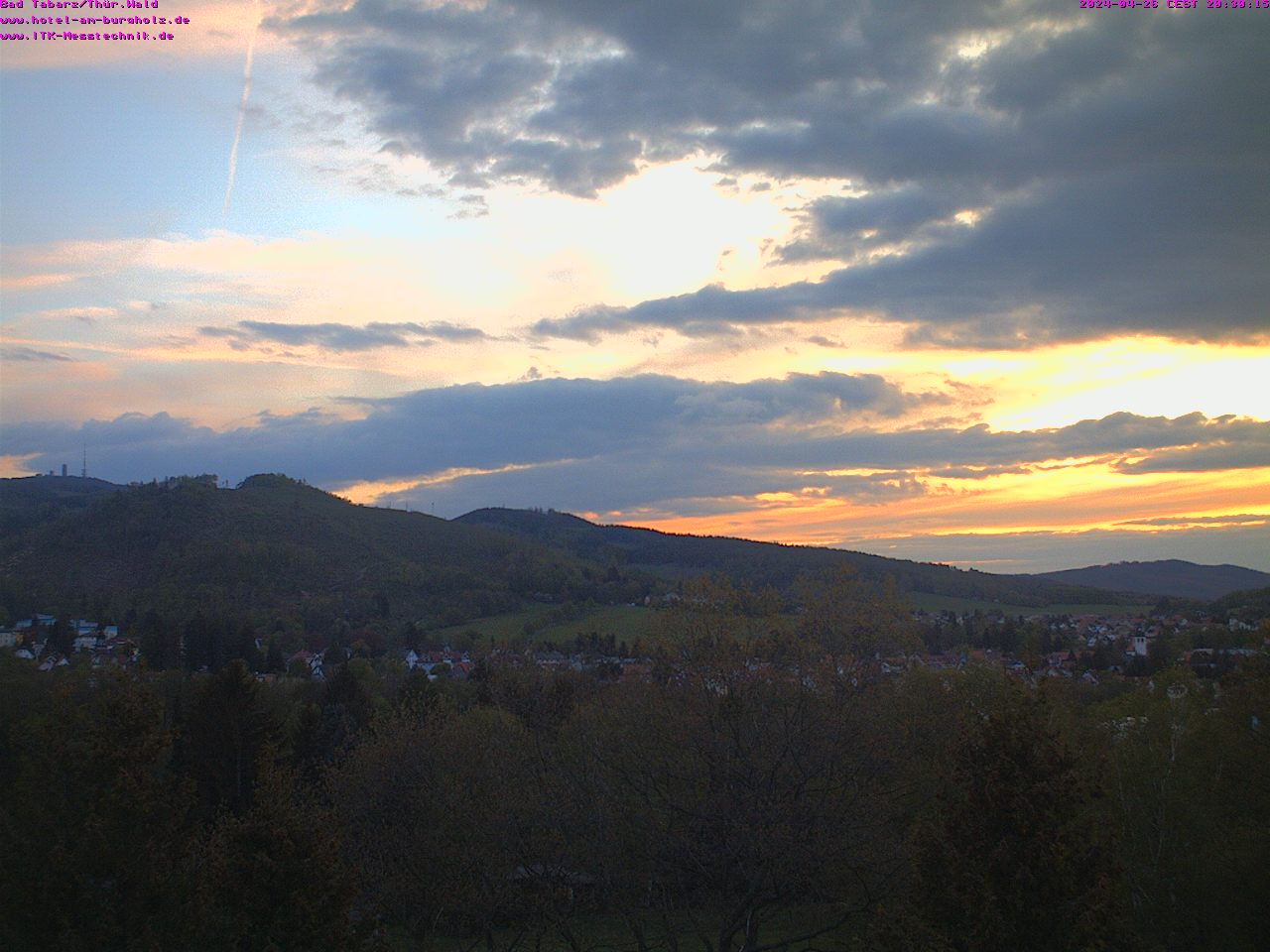
- View from Bad Tabarz to the Thuringian Forest with the 916 m high Großer Inselsberg
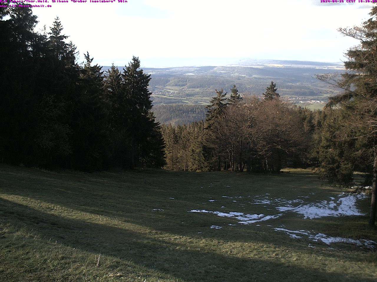
- View from the 916 m high "Großer Inselsberg" onto the downhill run towards Hörselberge near Eisenach
- 360 ° view from the observation tower (21 m high, 5 m camera mast) of the 916 m high Großer Inselberg over the Thuringian Forest
- 360 ° view from the observation tower (27 m high) of the 987 m high Schneekopf over the Thuringian Forest