
Location map of Rondônia in Brazil
The state Rondônia lies in the west Brazil, but administratively belongs to the northern region. It is covered by tropical and subtropical rainforest and borders acre, Amazon, Mato Grosso and Bolivia.
Regions

Map of Rondônia
places
- 1 Porto Velho


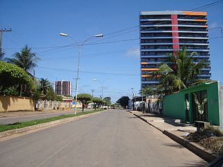
 in the Wikidata database") , 370,000 inhabitants, the capital. Despite the name (Old Port) only founded in 1914 and architecturally modern.
, 370,000 inhabitants, the capital. Despite the name (Old Port) only founded in 1914 and architecturally modern. - 2 Ji-Paraná, 110,000 inhabitants in the northeast of the state, important industrial city
- 3 Ariquemes, 80,000 inhabitants, in the north
- 4 Cacoal, 80,000 inhabitants, in the savannah area in the east
- 5 Vilhena, 70,000 inhabitants, in the far east


Other goals
background
language
getting there
mobility
Tourist Attractions
activities
kitchen
nightlife
security
climate
literature
Web links
- http://www.rondonia.ro.gov.br/ - Official website of Rondônia
