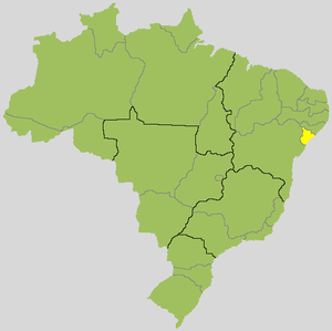
Location map Sergipe in Brazil
Sergipe is the smallest state after the capital district Brazil. It is located in the northeast of the country on the Atlantic coast.
Regions

Map of Sergipe
places
- 1 Aracaju


 in the Wikidata database") , 500,000 inhabitants, the capital on the Atlantic coast, a very modern city that was founded on the drawing board in the 19th century
, 500,000 inhabitants, the capital on the Atlantic coast, a very modern city that was founded on the drawing board in the 19th century - 2 São Cristóvão, 80,000 inhabitants, the old capital, 25 km from Aracaju. One of the best preserved baroque cities in Brazil, the fourth oldest city in the country.
- 3 Capela
- 4 Carmopolis
- 5 Estância, 90,000 inhabitants, on the coast in the south
- 6 Itabaiana, 100,000 inhabitants, known for the musical life and dances, with an interesting old town
- 7 Japaratuba
- 8 Lagarto, 100,000 inhabitants, inland
- 9 Laranjeiras - first capital of the state
- 10 Nossa Senhora do Socorro
- 11 Propriá
- 12 Santo Amaro das Brotas

_(6).jpg/350px-Flickr_-_Ministério_da_Cultura_-_Praça_São_Francisco_-_São_Cristóvão_(SE)_(6).jpg)


Other goals

Cânion do Xingó
- 1 Rio Sao Francisco Natural Monument, wild and romantic rocky landscape on the Rio São Francisco, with a deep canyon.
- 2 Xingó hydropower plant on the Rio São Francisco


background
language
getting there
mobility
Tourist Attractions
activities
kitchen
nightlife
security
climate
literature
Web links
- http://www.se.gov.br/ - Sergipe official website
