.svg/300px-Sorlandet_in_Norway_(plus).svg.png)
Sørlandet or Southern Norway, also as Agder is the southernmost part of Norway. The coast of southern Norway (Skagerrak) is often referred to as the Norwegian Riviera. The picturesque towns and the enchanting archipelago surround the Skagerrak coast, the interior is ideal for hiking and the mountains offer good opportunities for skiing in winter. Everything is surrounded by a beautiful natural landscape. The climate, especially along the coast, is mild compared to other places in the Nordic countries. Southern Norway has the highest number of recorded hours of sunshine per day in Norway.
Regions
The two southern Norwegian provinces Aust-Agder and Vest-Agder became the Fylke Agder merged.

places

- 1 Arendal


 in the Wikidata database") - seaside town
- seaside town - 2 Bygland - Located in Setesdal by Lake Byglandsfjorden.
- 3 Evje - Inner city, located in the Setesdal
- 4 Flekkefjord - seaside town
- 5 Grimstad - seaside town
- 6 Hovden - largest ski area
- 7 Kristiansand - biggest town
- 8 Lillesand - seaside town
- 9 Lindesnes - seaside town
- 10 Mandal - seaside town
- 11 Risør - Coastal town, one of Europe's best-preserved 19th-century wooden housing estates


.jpg/350px-Risør_Krantoppen_august_2017_(4).jpg)
Other goals

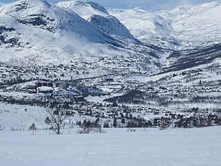
- The 1 Setesdal is from the river Otra flowed through. If you come to Norway by car via Kristiansand and want to go further north, after leaving the coast in Setesdal, you will be introduced more and more to the pristine and rough nature of Norway.
- The highest point is that 2 Sæbyggjenuten at 1507 meters above sea level.
- The 3 Kjeragbolten is a hanging stone that sits between steep rock faces 1000 meters above the 4 Lysefjord is jammed.

- 5 Lindesnes fyr - Lighthouse at the southernmost mainland point of Norway. From here to the North Cape it is 1,682 km as the crow flies,

background
language
getting there
By car
From Germany with a ferry to the ferry port Kristiansand, then on the ![]() along the coast direction Oslo or on the
along the coast direction Oslo or on the ![]() direction Stavanger
direction Stavanger
By train
The Sørlandsbane leads from Oslo above Kristiansand to Stavanger
By plane
- 1 Kristiansand Airport (IATA: KRS), Kjevikveien 211, 4657 Kjevik. Tel.: 47 67 03 04 00, Email: [email protected].


mobility
Tourist Attractions


activities
hike
There are a variety of summit hikes with great views of the mountains and fjords
fishing
Fishing is possible in the archipelago, on the open sea or in the numerous inland and mountain lakes. There are also plenty of good salmon rivers.
To go biking
- The North Sea Cycle Route, the national cycle route No. 1, runs along the coast of Norway
- National cycle route no.3 follows RV9 through the Setesdal valley
kitchen
nightlife
security
climate
Due to the proximity to the coast, the winters are relatively mild and the summers are not very hot, the region has a typical maritime climate.
trips
literature
Web links
- visitnorway.com about Sørlandet - Information about the area
- visitnorway.com about what's going on in Sørlandet - updated information