 | |
| Kanagawa Prefecture | |
| Capital | Yokohama |
|---|---|
| Residents | 9.216.009 (2020) |
| surface | 2,416.04 km² |
| website | www.pref.kanagawa.jp/ |
| no tourist info on Wikidata: | |
| location | |
 | |
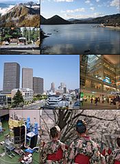
Kanagawa(Japanese: 神奈川 県, Kanagawa-ken) is a prefecture in the region Kantō, Japan
Regions
Off the south coast of Kanagawa Prefecture lies the Sagami Bay, off its northeast coast is the Tokyo Bay. The peninsula rises in between Miura in the Philippine Sea. The prefectures are to the west Yamanashi and Shizuoka, to the north is the prefecture Tokyo (prefecture). Kanagawa is therefore the most densely populated prefecture in the country after Tokyo.
places

Map of Kanagawa
- 1 Yokohama


 in the Wikidata database") - Capital of the prefecture
- Capital of the prefecture - 2 Kamakura(鎌倉) - City on Sagami Bay with a few temples.
- 3 Hakone - at Lake Ashi in Fuji-Hakone-Izu National Park.
- 4 Atsugi

- 5 Ayase
- 6 Chigasaki
- 7 Ebina
- 8 Fujisawa
- 9 Hadano
- 10 Hiratsuka
- 11 Isehara
- 12 Kawasaki
- 13 Minamiashigara
- 14 Miura
- 15 Odawara
- 16 Sagamihara
- 17 Yamato
- 18 Yokosuka
- 19 Zama
- 20 Zushi
.jpg/350px-みなとみらい_-_panoramio_(1).jpg)


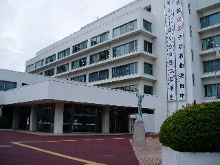
.jpeg/320px-Ayase_City_Hall,(KANAGAWA_Pref._Japan).jpeg)


.jpg/320px-Zama_City_Hall,_(KANAGAWA_Pref._Japan).jpg)

Other goals
background
language
getting there
mobility
Tourist Attractions
activities
kitchen
nightlife
security
climate
trips
literature
Web links
- https://www.pref.kanagawa.jp/ (Yes) - Kanagawa Prefecture Official Website
