
The Neckar basin located in Baden-Wuerttemberg.
Regions
The Neckar basin or also the Middle Neckar area is the area between Stuttgart and Heilbronn. Here the Neckar flows through a fertile and mostly hilly region. On its west side it is bounded by the landscapes of the Gäu roughly on a line between Vaihingen an der Enz and Leonberg, in the south these are the Glemswald and the Virgin forest, in the east of the Swabian forest, the Welzheimer Wald and the Virgin forest. The northern border is formed by the Löwenstein Mountains on the eastern side, and in the northwest these are the Stromberg, the Hypocritical mountain and finally the Kraichgau.
The northwest of the Neckar basin is covered in the article Zabergäu dealt with, the southwest includes that Strohgäu as well as parts of Heckengäu and Korngäu, as Lower yawn are designated.
In the east that forms Bottwartal A large part of the Neckar Basin region is formed by the Ludwigsburg district. This article is limited to the area to the left and right of the river as well as the Backnanger Bay.
places

- 1 Asperg


 in the Wikidata database")
- 2 Besigheim
- 3 Bietigheim-Bissingen
- 4 Fellbach
- 5 Freiberg am Neckar
- 6 Hessigheim
- 7 Kornwestheim
- 8 Ludwigsburg
- 9 Marbach am Neckar
- 10 Mundelsheim
- 11 Pleidelsheim
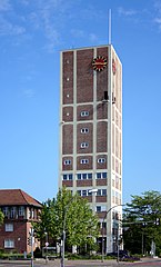
- 12 Stuttgart
- 13 Backnang
- 14 Waiblingen
- 15 Winnenden


Other goals
background
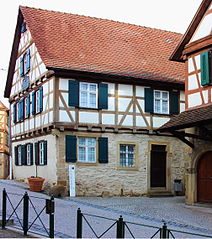
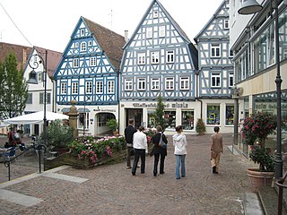
The Neckar basin is part of the southwest German layered landscape. Particularly near the Neckar, the arable soil is covered with thick layers of loess, which enable intensive agriculture. The Neckar and other bodies of water have dug themselves deep into the ground, and there are centuries-old vineyards on the stony, steep slopes. However, the importance of agriculture has declined sharply, the settlement of industry and commerce was followed by brisk construction activity. Many farms had to give up, some became prosperous. The cause was often in the "Swabian three-field economy" to look for with the crop rotation: Winter cereals - Summer cereals - Building land.
language
getting there
The central Neckar area in Baden-Württemberg is probably one of the best-developed areas in terms of transport A81 is the most important north-south connection, plus the B27that connects the places in the Neckar Valley. The rail connections are also good. The runs between Stuttgart and Heilbronn in the Neckar Valley Frankenbahn, there are S-Bahn connections from Stuttgart to Bietigheim-Bissingen, to Marbach am Neckar and after Backnang