| location | |
.svg/250px-Zacatecas_in_Mexico_(location_map_scheme).svg.png) Location of Zacatecas in Mexico | |
| Short dates | |
| Capital | Zacatecas |
|---|---|
| surface | 73.252 km² |
| population | 1.4 million |
| Time zone | Central Standard Time (Summer: UTC -5 (MEZ-6) Winter: UTC -6) |
Zatatecas is a mexican State. It borders in the northeast Nuevo León and San Luis Potosí. Follow south Aguascalientes, Guanajuato and Jalisco, in the West Nayarit and in the north Coahuila.
Regions
&groups=Maske,Track,Aktivitaet,Anderes,Anreise,Ausgehen,Aussicht,Besiedelt,Fehler,Gebiet,Kaufen,Kueche,Sehenswert,Unterkunft,aquamarinblau,cosmos,gold,hellgruen,orange,pflaumenblau,rot,silber,violett)
Map of Zacatecas (State)
http://www.zacatecas.gob.mx/ - Official website of Zacatecas
places
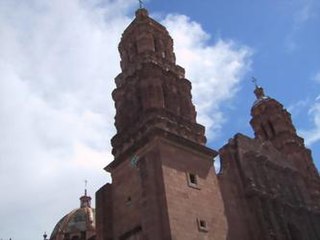
- 1 Zacatecas


 in the Wikidata database") - State capital and well-preserved colonial silver city, now a UNESCO World Heritage Site
- State capital and well-preserved colonial silver city, now a UNESCO World Heritage Site - 2 Jalpa
- 3 Jerez de García Salinas - Provincial colonial city
- 4 Juan Aldama - Small, clean, rural town with colorful streets
- 5 Taltenango
- 6 Sombrerete - the quiet small town gives a feeling of "old Mexico"
- 7 Valparaíso


Other goals
background
language
getting there
mobility
Tourist Attractions
activities
kitchen
nightlife
security
climate
literature
Web links
http://www.zacatecas.gob.mx/ - Official website of Zacatecas